
Frequently Asked Questions About How to Travel to Sonoma County
Have questions about how to best explore Sonoma County’s scenic roads, wineries, and wonders of nature? Find out how to get here and get around with these frequently asked questions.
1. How to get around Sonoma County?
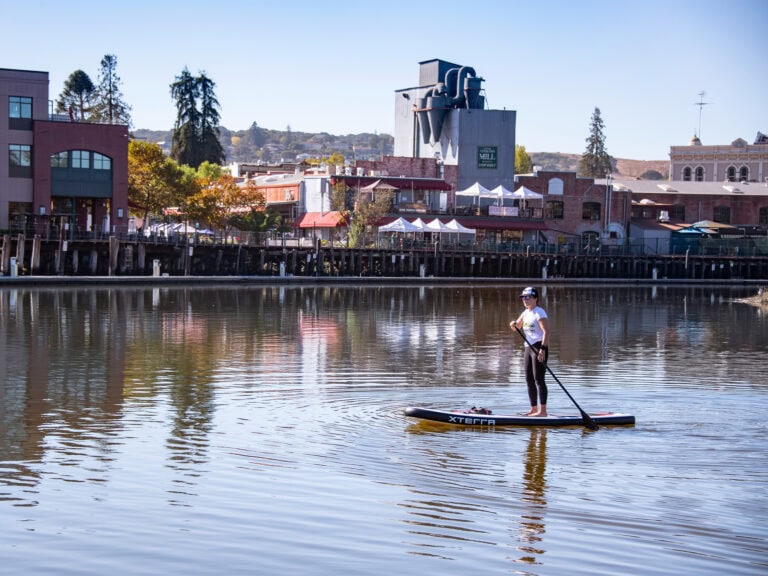
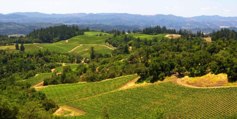
Getting around in Sonoma County is typically easiest in a car or other vehicle, because with 1,500 square miles of gorgeous scenery and charming communities, there’s a lot to see and do. You can rent a car, hire a limo and driver, take a taxi, use a rideshare service, or take a sightseeing tour.
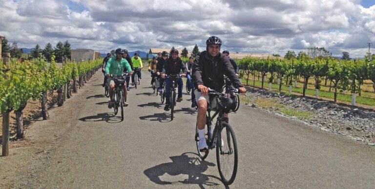
Scenic roads and a growing system of off-road bike trails mean that exploring by bicycle is a wonderful way to discover all that this region has to offer; check our listings of bike rentals and guided tours.
There are public transportation options, too, including the Sonoma-Marin Area Rail Transit (SMART) train system – more on that below – and Sonoma County Transit buses, which run countywide.
2. Can I get to Sonoma County by train?
Getting to Sonoma County by train is now a reality for at least part of the journey thanks to the Sonoma-Marin Area Rail Transit (SMART) train system.
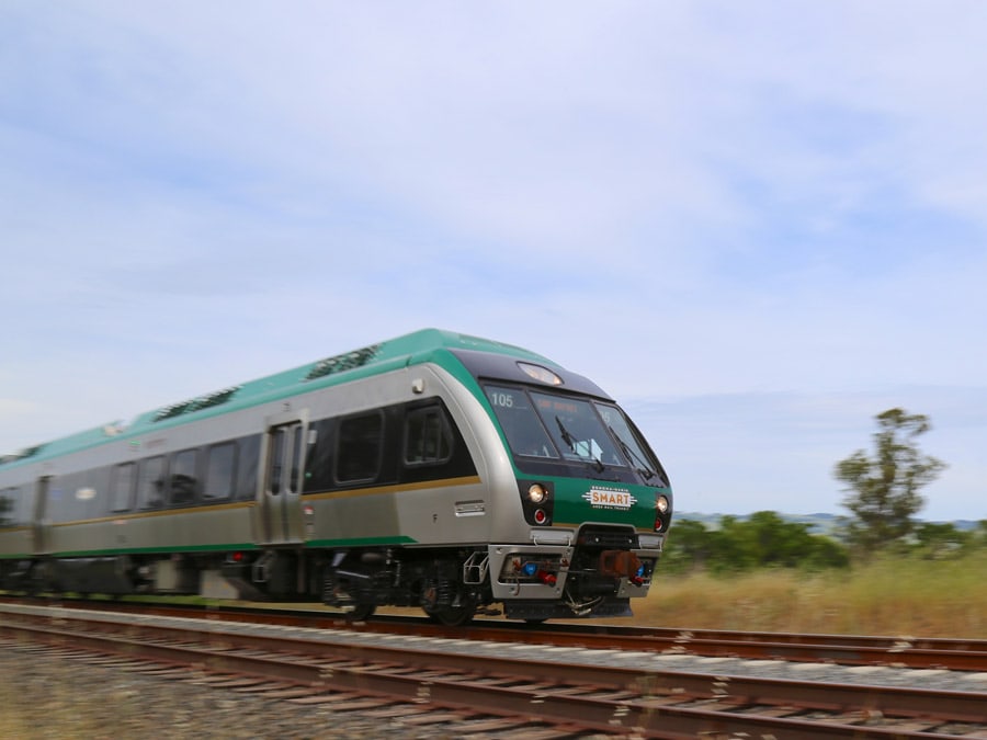
SMART carries passengers on energy-efficient, clean diesel trains on a 43-mile route from the Windsor station in northern Santa Rosa to Larkspur in Marin County, which offers ferry service to San Francisco (the ferry terminal is a short walk from Larkspur Station). SMART Trains are ADA-compliant to be accessible to passengers with disabilities.
Plans call for SMART to eventually cover a 70-mile corridor from Larkspur in the south to Cloverdale in the north, with an additional stop also added in Healdsburg. For more details, check out our Guide to Exploring Sonoma County by SMART Train.
3. What are the best routes to travel through Sonoma County?
The best routes for traveling through Sonoma County depend on where you are, where you are going, and what you want to see.
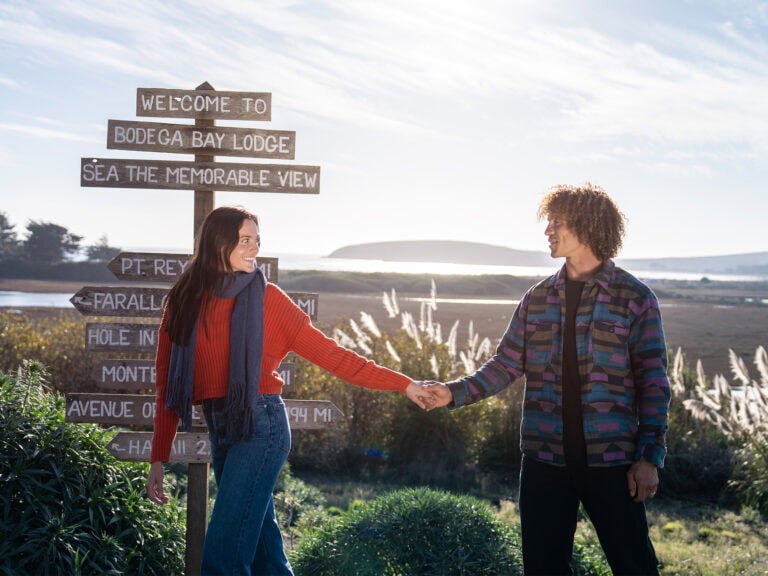
Iconic Highway 1 winds its way along more than 50 miles of stunning Pacific Ocean coastline. From Bodega Bay in the south to The Sea Ranch in the north, Highway 1 lets you discover sandy beaches, secret coves, gorgeous rocky bluffs with endless views, and cozy coastal communities.
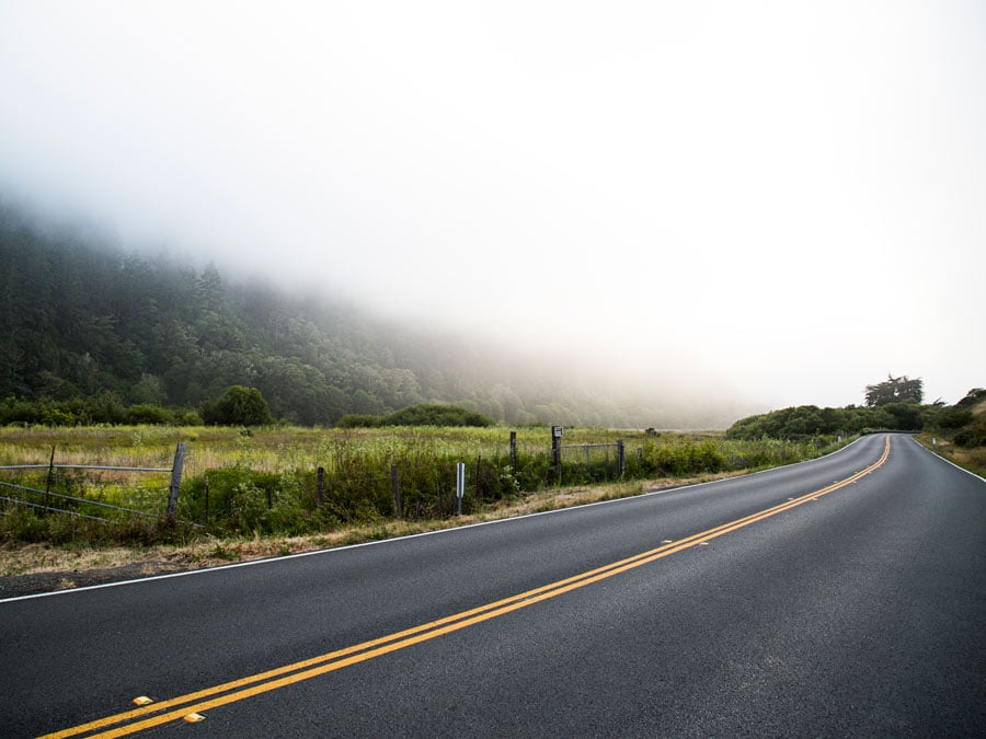
The two-lane highways and back roads that take you to Highway 1 are also scenic, each in its own way. Bodega Avenue out of Petaluma takes you through the lush farmland of Two Rock Valley and Valley Ford, to Bodega Bay.
Highway 116 takes you to Sebastopol, where you can choose to follow Highway 12 through the countryside to Bodega Bay, or to continue on Highway 116 along the Russian River Valley to Jenner, where the river empties into the ocean.
To explore the Sonoma Valley in eastern Sonoma County, follow Highway 37 along the northern edge of San Pablo Bay, then head north of highways 121 and 12 through the fertile and picturesque Sonoma Valley, nestled between Sonoma Mountain and the Mayacamas mountains.
Of course, the central corridor through Sonoma County is the multi-lane Highway 101, a dynamic lifeline stretching from Petaluma in the south to Cloverdale in the north. Each community along the way has something special to offer, so be sure to take the exit ramps to discover the charming Victorians in downtown Petaluma, historic Railroad Square in Santa Rosa, Healdsburg’s central plaza, and so much more.
4. Where can I rent a car in Sonoma County?
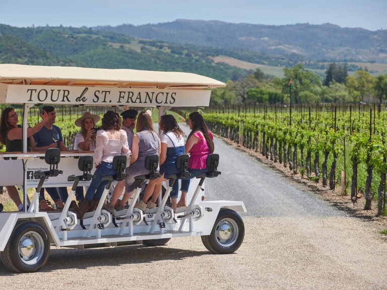
To rent a car in Sonoma County, check our listings of car rental companies. And if you’re going tasting at wineries, craft breweries, or artisan distilleries, you might want to consider hiring a limo and driver or booking a guided tour to be able to relax and leave the driving to someone else.
5. Where are bike routes in Sonoma County?
Sonoma County offers great treks on 1,400 miles of lightly traveled backroads — plus a growing number of off-road trails — for a wide variety of bicyclists, from beginners to dedicated cyclists.
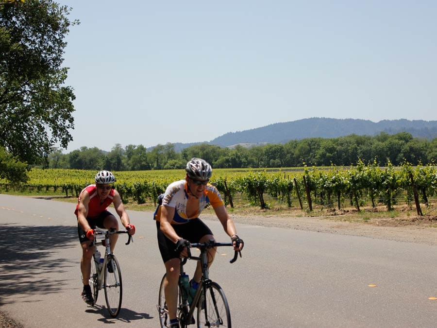
Read our articles on Popular Bike Itineraries: Cycling Through Wine Country and Guide to Cycling in Sonoma County to find the best routes for your interests. If you prefer to leave the details to a local expert, check our listings of Outdoor Activities and click on Bike / Segway Tours or Bicycle / Scooter Rentals to find a guide and all necessary equipment.
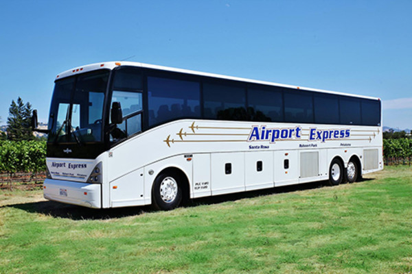
6. What is the closest airport and shuttle service to Sonoma County?
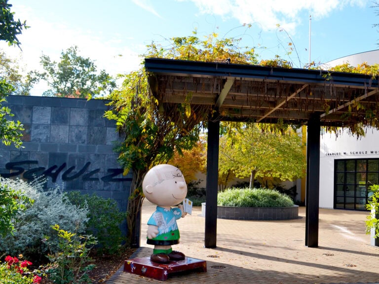
The closest airport and shuttle service to Sonoma County are the county’s own Charles M. Schulz-Sonoma County Airport (STS), in Santa Rosa, with daily flights on three major carriers; and the Groome Transportation, which runs between Sonoma County and the San Francisco and Oakland airports.
Sonoma County is also easily accessible from major airports in nearby cities. Sonoma County is:
- 75 miles and about an hour-and-a-half drive north of San Francisco International Airport (SFO)
- 76 miles and about an hour-and-a-half drive northwest of Oakland International Airport (OAK)
- 119 miles and slightly more than a two-hour drive west of Sacramento International Airport (SMF)
For more details, read How to Get to Sonoma County.
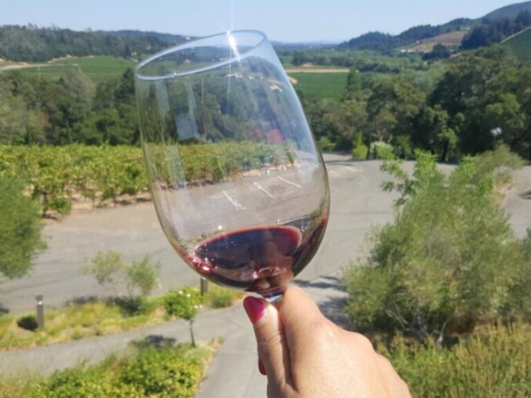
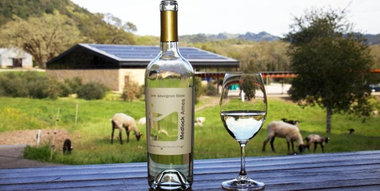
7. How do I get to wineries in Sonoma County?
The best way to get to wineries in Sonoma County is by driving, either in your own vehicle, a rental car, or with a guide/driver on a wine tour.
Covering more than 1,500 square miles and home to more than 425 wineries, Sonoma County is both extremely diverse and fairly spread out. Although Sonoma County Transit buses do run countywide, the routes do not typically go to wineries. Driving (or being driven) gives you the freedom to discover all that this area has to offer.
For more ideas, read our articles on Top Wineries for First-time Visitors and Guide to Food and Wine Tours.
Written by Sonoma Insider Patricia Lynn Henley.
From lodging properties to transportation services, here are a few traveling tips and recommendations of places to visit in Sonoma…
If you’re not a commuter to Santa Rosa, Petaluma or one of the other towns along the SMART train route,…

Good news: You can now reduce the impact of your flight to Sonoma County, using carbon offsets! Our local Charles…
Sonoma-Marin Area Rail Transit — commonly known as the SMART train — provides a convenient and easy way to explore large…
Zinfandel from Sonoma Valley. Sauvignon Blanc from Carneros. Pinot Noir or Chardonnay from Russian River Valley. Cabernet Sauvignon from Alexander…
Stretched out on both sides of US Highway 101 on the southern edge of Sonoma County, Petaluma boasts a well-preserved historic…
A vibrant city in the center of rural Sonoma Wine Country, Santa Rosa (pop. 170,685) blends small-town friendliness with urban…
Start your Sonoma Wine Country adventure by flying into Charles M. Schulz Sonoma County Airport (STS) in Santa Rosa. Enjoy…
Step aboard a sleek SMART train and discover Sonoma County without having to deal with traffic or parking. Energy-efficient, clean…
Have questions about how to best explore Sonoma County’s scenic roads, wineries, and wonders of nature? Find out how to…
The beauty of hosting your wedding in Sonoma Wine Country is that you can find yourself in a somewhat remote…
THIS IS WINE COUNTRY.
Share your experience using #SonomaCounty or #LifeOpensUp