


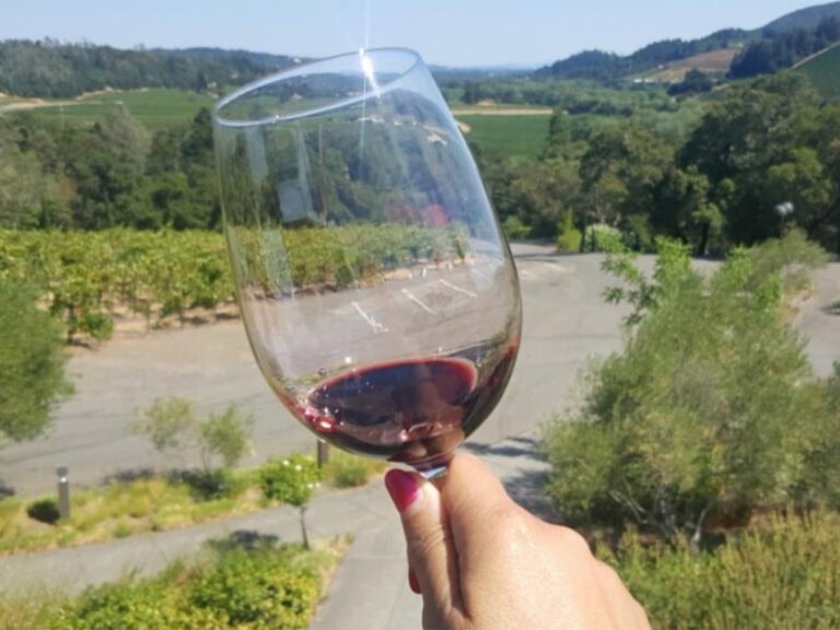
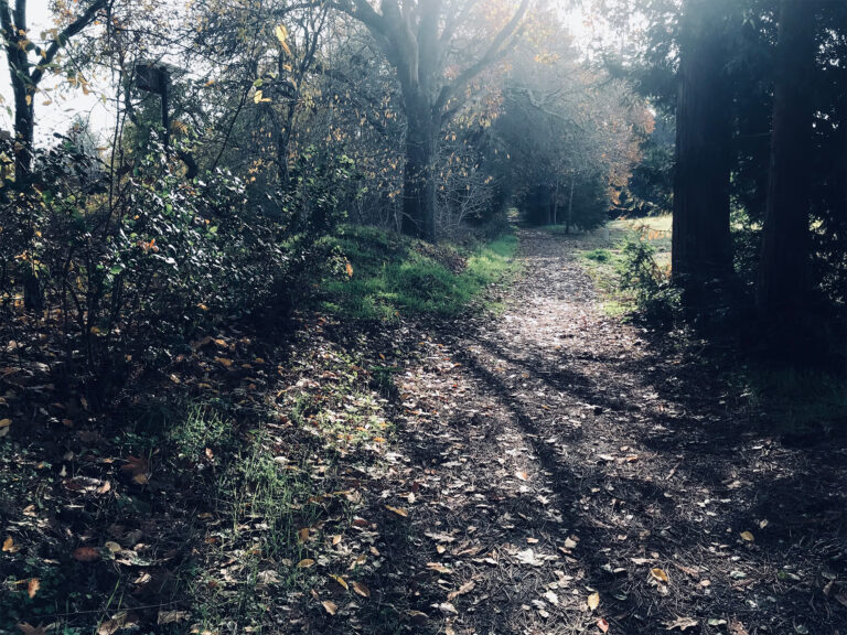
Hiking in Sonoma County: Wine Country Hikes for Serious Hikers
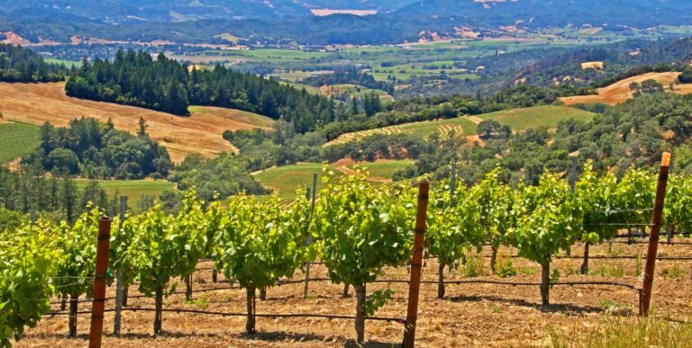
While Wine Country may be best known for its wineries, restaurants, and tasting rooms, Sonoma County also offers a plethora of scenic and challenging hiking trails for those who like to work up a sweat and log some mileage before indulging in more gastronomically focused experiences. All of the hikes here are rated “Moderate” or “Difficult” by hikers, meaning that they includes varied terrain, significant elevation gain and/or longer distances. With so many great hikes to choose from, we can’t include them all here, but we think the options below represent some of the best hiking in Sonoma County.
Jack London State Park and East Slope Sonoma Mountain
11.1 Miles (Strenuous-Difficult)
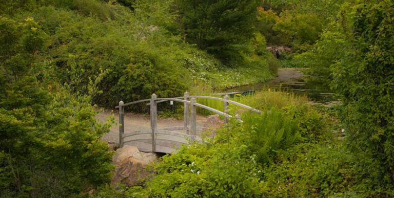
Jack London Historic State Park in Glen Ellen is a great destination for hikers and non-hikers alike, featuring a museum, picturesque walking trails, and a historic amphitheater (where the famed Broadway Under the Stars performances are held every summer).
Most visitors to Jack London park don’t realize that it is also home to a couple of the most challenging and scenic hiking routes in the region.
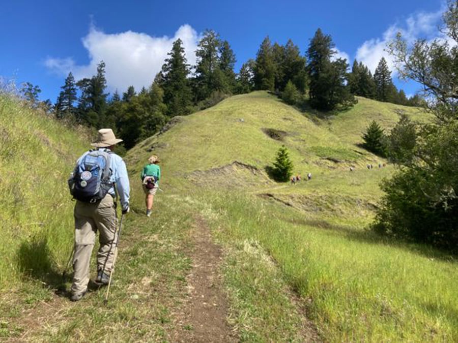
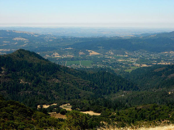
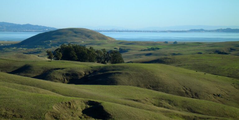
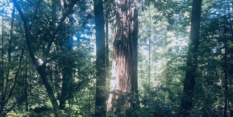
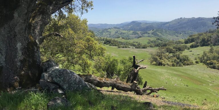
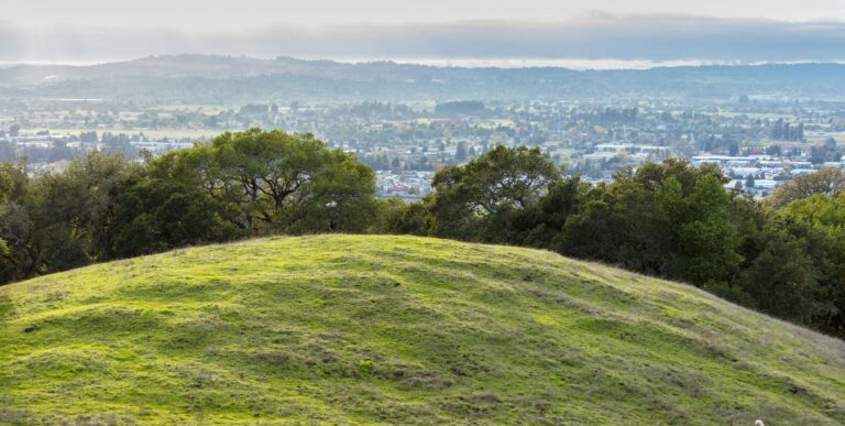
A favorite route for advanced hikers is the Bay Area Ridge Trail and East Slope Sonoma Mountain hike, which is a total of 11.1 miles, climbs a total 1,932 feet, and is rated “Difficult” by hikers. This Bay Area Ridge Trail hike starts inside the historic state park and then connects with the East Slope Sonoma Mountain Ridge Trail, which meanders through forests and fields before climbing to the top of the ridge. On a clear day, views from the top of the ridge include the Valley of the Moon and the Bay.
For a slightly shorter and slightly less intense route with equally scenic views, try the 8.6-mile (1,800-feet elevation gain) Mountain, Sonoma Ridge, and Coon Trail.
Jack London Park has a $10 day-use fee. Dogs are not allowed in the park.
North Slope Regional Park Trailhead to Sonoma Mountain
10 Miles (Strenuous)
This hike starts at the North Slope Regional Park trailhead and takes the Ridge Trail all the way to the top of Sonoma Mountain, where hikers are rewarded with views of the entire Sonoma Valley, Jack London State Park, and beyond. The first few miles of this route are forested/shaded, with the last two-thirds of the hike being mainly out in the open. This is an out-and-back hike that totals 10 miles in distance and includes a 1,900-foot elevation gain. Most of the elevation gain is spread out over a pretty short distance (when you get close to the mountain), which makes this route more challenging than it might appear.
The climb on this route has been compared to the “ultimate stair stepper” and is preferably done on days where the temperatures aren’t too high, or early enough in the morning that it can be completed before peak temperatures arrive.
There is a $7 parking fee per vehicle to park in the North Slope Regional park lot. The machines here accept credit cards or cash. This park is not dog-friendly.
Address: 5297 Sonoma Mountain Road, Santa Rosa, CA 95404
For GPS directions, type “North Slope park” into Google Maps. It will pull the park up as “North Slope Park, Sonoma Mt.” on Sonoma Mountain Road.
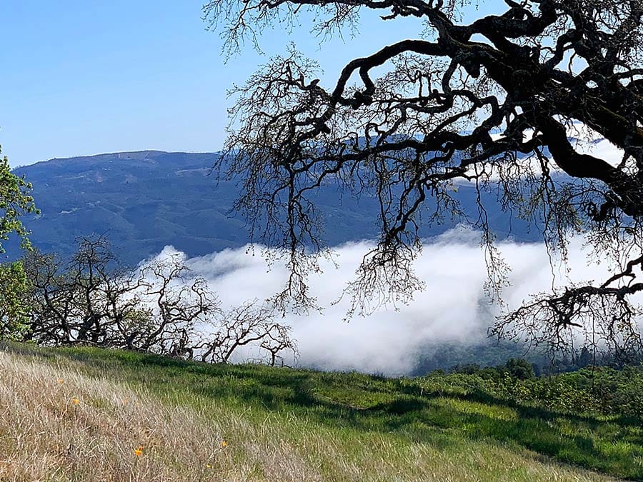
Sugarloaf Ridge State Park, Goodspeed Trail to Gunsight Rock and Hood Mountain
7.5 Miles (Difficult)
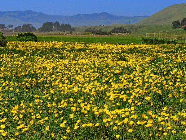
Sugarloaf Ridge State Park is located in the Mayacama Mountains near Kenwood. With elevation from 600 to 2,800 feet in the park, there are a variety of shorter, medium, and long hikes that reward hikers with views of Sonoma and Napa Valley and Mount St. Helena. The higher the climb, the better the view!
The hike some locals refer to as a butt-kicker is Goodspeed Trail to Gunsight Rock and Hood Mountain, a 7.5-mile round-trip hike with an elevation gain of 2,100 feet. The hike starts in Sugarloaf Ridge State Park and then continues on Goodspeed and Nattkemper trails before crossing over to Hood Mountain toward the end.
Feel free to ditch the gym, as this four-hour hike is all the workout you’ll need. Seriously though, this isn’t a leisurely or mellow hike. It’s a challenge. Though your hard work will be rewarded with fantastic views of Sonoma Mountain, Mount Tamalpais and even as far as Mount Diablo. While there are alternate routes that will get you to Gunsight Rock, this one is a favorite with serious hikers.
There’s a $10 parking/use fee at Sugarloaf State Park for those who don’t have a California State Park pass.
Address: 2605 Adobe Canyon Rd, Kenwood, CA 95452
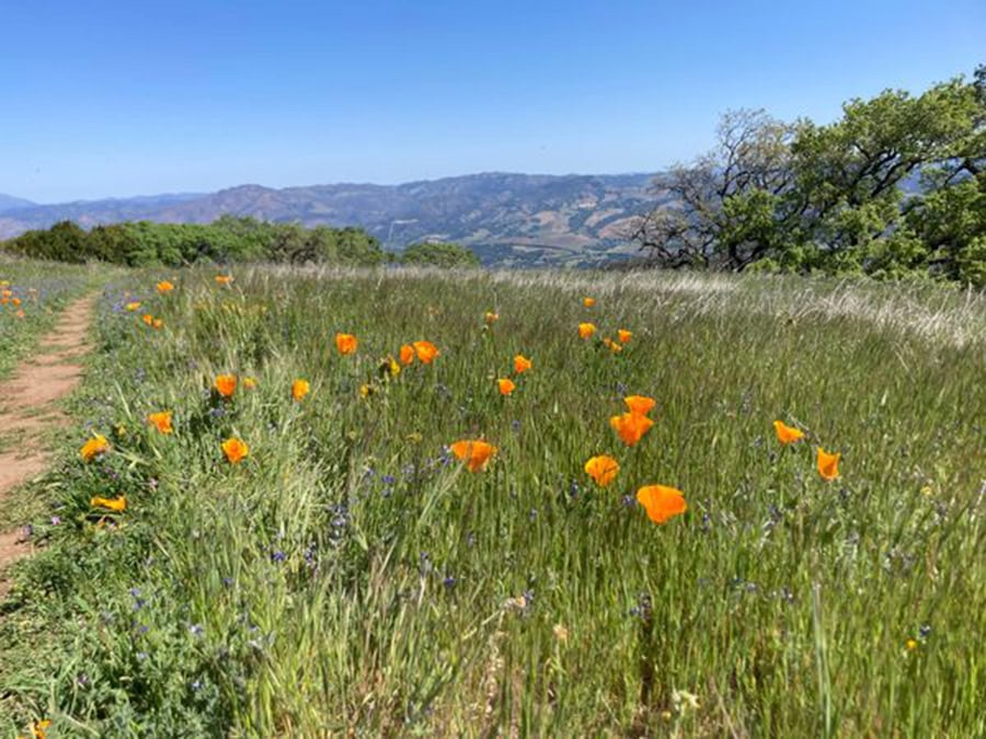
Trione-Annadel State Park, Buick Meadow Hike
9.5 Miles (Moderate)
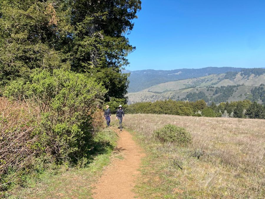
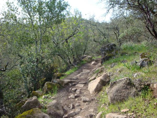
Annadel State Park is a favorite among local hikers and cyclists. On weekdays and weekends alike, you’ll find plenty of locals out enjoying the trails here. While the park may appear unassuming, there is a huge network of diverse trails ranging from short and easy to long, rugged, and challenging. Due to the lack of trail signage, and a labyrinth of trails that crisscross over each other and that look very similar, it’s a relatively easy park to get lost in, so we recommend carrying directions and extra water, and paying attention to your route.
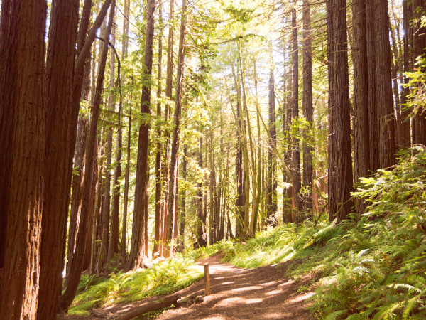
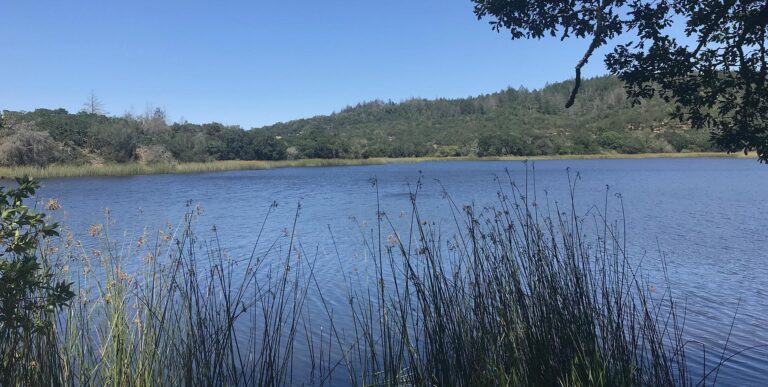
One of the most scenic long-distance routes at Annadel (and a favorite with local hiking groups) is the Annadel Buick Meadow Hike. This hike starts from Parktrail Drive in Santa Rosa (a residential area with free street parking) and connects to Canyon Trail before syncing up with Marsh Trail and then taking South Burma Trail, Lake Trail, and Spring Creek Trail on the way back from Buick Meadow. This hike offers a bit of everything, from woodlands, grasslands, and coastal redwoods to panoramic views of the Mayacamas, St. Helena, and Lake Ilsanjo.
Address: 4838 Parktrail Drive (this is just an address for navigational purposes). It’s a residential neighborhood with houses on the right and the trailhead to the left about half-a-mile after you make the turn from Summerfield onto Parktrail Drive)
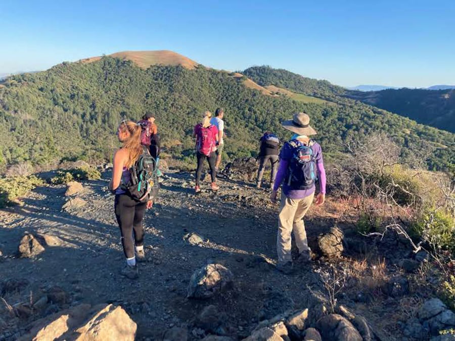
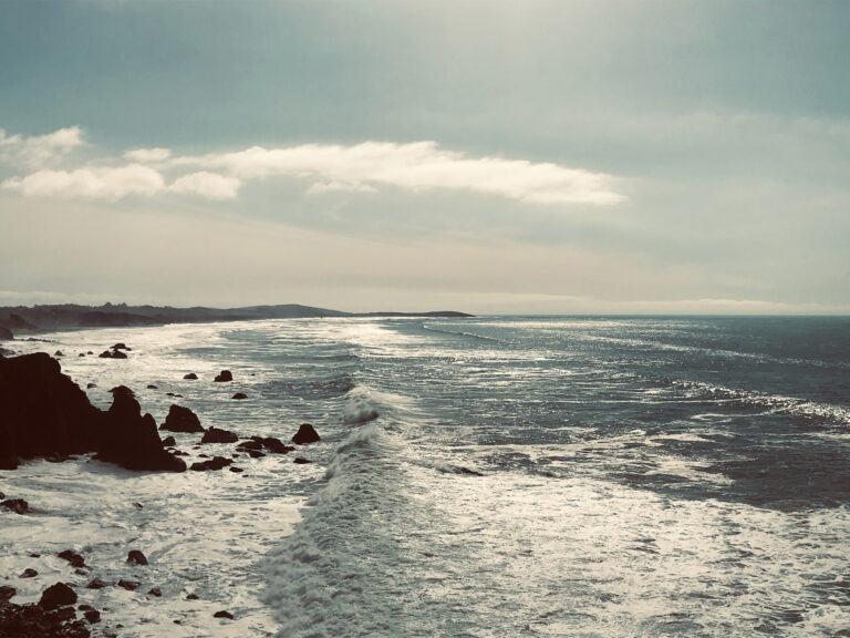
Jenner Headlands, Pole Mountain
17 Miles (Very Difficult)
Pole Mountain is one of those hikes that serious local hikers consistently come back from talking about how difficult (and painful) it is, yet they continue to do it at least a couple of times per year. This hike is a bootie-kicker. Seriously. This is not a hike for the faint of heart and it’s essential to both be in very good physical condition as well as to carry more water than you’d normally carry on a hike of this distance due to the consistent significant elevation gain (which seems like it never ends) and the fact that this trail is largely exposed.
For this reason, most local hikers prefer to do this hike when the weather is a bit cooler (i.e. not peak summer) and to start really early in the morning in order to take advantage of the misty mornings that are typical out on the Sonoma Coast.
Now that we’ve scared you, we’ll let you in on the good news. The views on this hike are spectacular and you’ll burn so many calories you’ll be able to eat and drink anything you want afterward. Win!
*Note: There are other shorter, less painful (though still challenging) hikes at Jenner Headlands if you’re feeling motivated to get out on a trail but aren’t quite ready for this level workout.
Address: Jenner Headlands Preserve, Highway 1, Jenner, CA
Parking is free. Dogs are allowed on shorter hikes (most trails) but not on the entire Sea to Sky/Pole Mountain route.
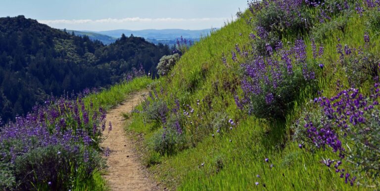
Pomo Canyon Trail to Redhill Trail (Loop)
7 Miles (Moderate)
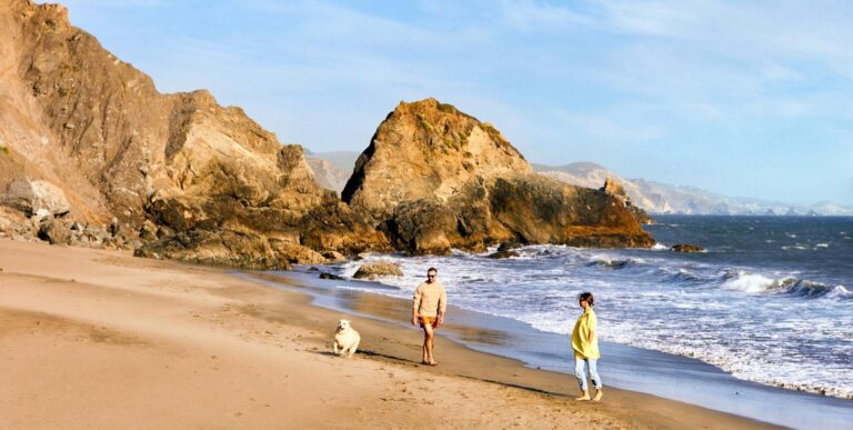
This hike has everything – sweeping coastal views, magical elven forests, and just enough elevation to provide a challenge while still being a mellow hike overall. Added perks are that this hike starts and ends at a beach and parking is free!
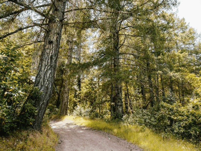
Starting from the Shell Beach parking lot on Highway 1 north of Bodega Bay, you’ll cross the highway on foot to access the Pomo Canyon trailhead, which sits right across the road from the parking lot. From here, the Pomo Canyon Trail climbs gradually to the top of a hill from which you’ll be rewarded with views of Jenner Bay and the entire coastline to your left before winding through a forest, trekking down into a campground and then climbing back up to hike a couple of miles (most forested) before connecting with the Red Hill Trail portion of the loop, which is uncovered/exposed, and will take you back on a different but equally if not more scenic route.
Bring snacks, and stop at the picnic tables at the top of the grassy knoll that sits about mid-way through the second half of the hike on Red Hill Trail to enjoy the views. Or pack a picnic and hang out at Shell Beach afterward.
If you’re looking for a few more miles to add-on after lunch, try Kortum Trail, which starts at Shell Beach and offers a few-mile walk along the coast with stunning views.
Address: Highway 1 and Shell Beach Road, Jenner CA, 95450.
Parking at Shell Beach is free. Dogs aren’t allowed on trails but are allowed at the beach.
The Reward
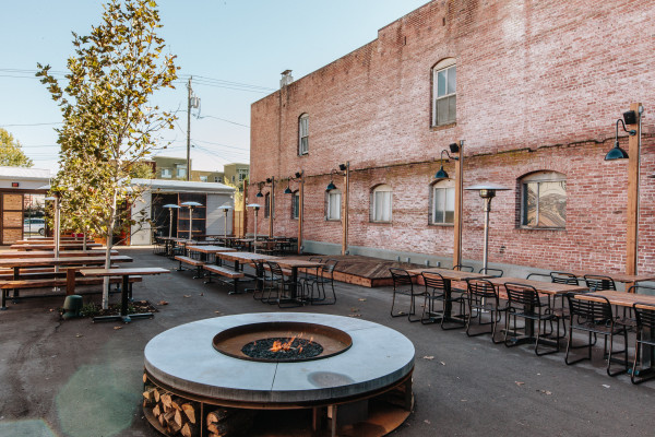
After all of this strenuous exercise, you’ll probably want to find some good places to consume some of those calories you’ve just burned, right? Here are a few of our favorite local spots to nosh at after a long hike:
- Brewsters Beer Garden, Petaluma
- Taub Family Outpost, Sonoma
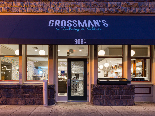
- Grossman’s Noshery and Bar, Santa Rosa
- Pizza Leah, Windsor
- The Farmer’s Wife, Sebastopol
- Acre Pizza at The Barlow, Sebastopol
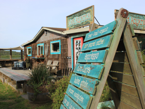
- Cafe Aquatica, Jenner
Written by Brooke Herron


Gorgeous fall colors spread like tapestry across Sonoma County from early September through late November, when Mother Nature weaves her…
Visits to Sonoma County allow for personalized experiences, unhurried itineraries, and a chance to explore the county’s unexpected charms. Here we…
More than just a premier Wine Country destination, Sonoma County can have a profound impact on a traveler’s emotional wellbeing,…
Lush greenery, foggy coastlines, seasonal harvests and unique wildlife sightings – Sonoma County in winter is a place where visitors…

Winter might be considered the off-season for many of the world’s hottest travel destinations, but a Wine Country visit between…
Springtime offers a brilliant array of things to see and do in Sonoma County, from wildflower walks to cheese crawls!…
More than (just) a premier Wine Country destination, Sonoma County’s myriad of options allow travelers to connect with the destination…
Find hidden gems, outdoor adventures and more with tips from those who know the coast better than anyone: The locals….
As a premier wine and food destination, Sonoma County attracts travelers seeking a getaway that feeds the senses, connects people…
Sonoma County is more than just a travel destination. The Sonoma County experience can feed your soul, enrich your life,…
Sonoma County is an outdoor enthusiast’s dream, painted with historic redwoods and biodiverse open spaces that are ideal for connecting…

Looking for evening activities in Sonoma County that go beyond bar-hopping? Good news: “Nightlife” in Sonoma County spans a wide…
Sonoma County is the ancestral home of three tribes of Native Americans – Kasia Pomo, Wappo, and Miwok – and…
It can be hard to venture off our usual retail route, which, lately has been dotted with a lot of…
Visitors travel from around the world to take in the stunning beauty of Sonoma County’s great outdoors. It’s an experience…
Springtime in Sonoma County is an experience for all the senses. Things are just a little brighter and a little…
Your bags are packed, and (at last!) you’re on your way to Sonoma County. The only way to make this…

In a place known for both idyllic landscapes and world-class beverages, it’s only fitting to combine the two during a…
For generations, Sonoma County has been a place where people have paused to reflect on their surroundings. Once you pause,…
Sonoma County vacations provide an opportunity for longer pauses and meaningful moments of play. For generations, this has been a…
THIS IS WINE COUNTRY.
Share your experience using #SonomaCounty or #LifeOpensUp